
Caye Caulker weather and your travel dates
Caye Caulker weather matters both for the stay itself and for the boats that connect it with the mainland and the reef. Start with the broad seasonal pattern, then look at the marine forecast close to departure. A climate table describes long-term conditions at a named station; use current forecasts for your own crossing or snorkeling trip.
The reference used here comes from the National Meteorological Service of Belize and belongs to the mainland airport near Ladyville. It is a useful starting point when considering dates, provided the station location stays clear. For the practical consequences, read the arrival guide and leave flexibility around the passenger boat connection. Neither an attractive coastal photograph nor a monthly average describes the sea on your travel day.
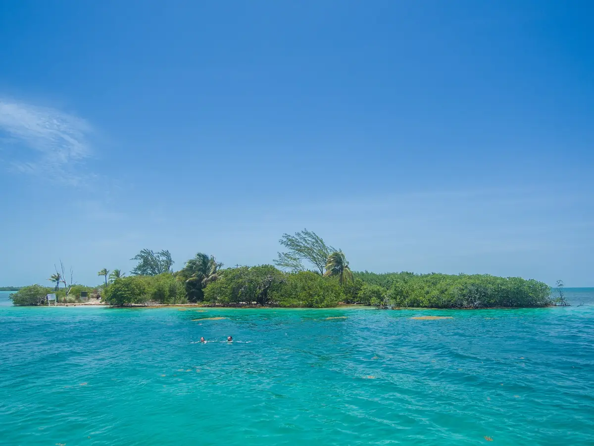
Best time to visit Caye Caulker
February to April is the driest continuous window in the mainland reference table, with March the driest month there. That makes this period a useful planning preference when comparing dates. It remains an interpretation of the reference station, rather than an island-specific promise of dry days, calm water or clear underwater views.
Use the table to compare the individual months without turning it into a forecast. The temperature columns show mean daily highs and lows, not records. Rainfall is the mean monthly total, not a daily rainfall expectation. All values come from the historical normal period 1991 to 2020 at the mainland airport; they are not a current weather display or measurements taken on Caye Caulker.
| Month | Mean daily maximum °C | Mean daily minimum °C | Mean monthly rainfall mm |
|---|---|---|---|
| January | 27.9 | 20.6 | 141.4 |
| February | 28.8 | 21.5 | 64.7 |
| March | 29.8 | 22.4 | 41.0 |
| April | 31.2 | 24.2 | 58.0 |
| May | 31.9 | 25.2 | 131.8 |
| June | 31.7 | 25.7 | 236.4 |
| July | 31.5 | 25.3 | 180.2 |
| August | 31.8 | 25.3 | 195.0 |
| September | 31.8 | 24.9 | 229.8 |
| October | 30.6 | 23.9 | 305.5 |
| November | 29.2 | 22.0 | 235.8 |
| December | 28.3 | 21.2 | 150.9 |
A snorkeling and sunset outing
This weather-dependent boat trip combines snorkeling with a sunset cruise; check conditions for your chosen date.
Hand-picked tours, booked through GetYourGuide. Prices are indicative starting prices in US dollars (as of November 2026). Tap a tour for live availability and the current price in your currency.
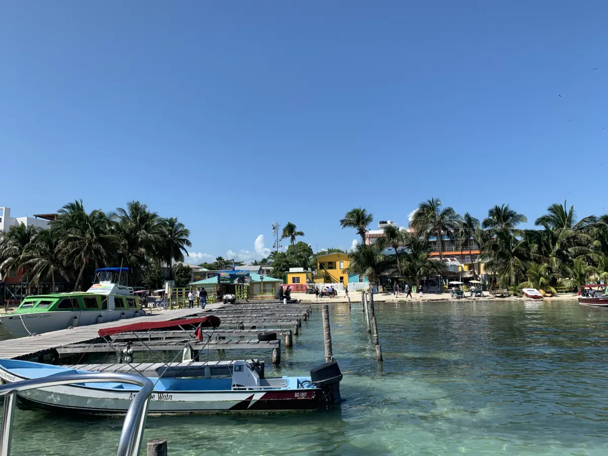
Snorkeling and sunset on a suitable day
A weather-dependent 4.5-hour outing with island-only pickup, equipment and reserve fees; bring an SD card for GoPro images.
Rain and hurricane season
The North Atlantic hurricane season runs from 1 June to 30 November, and events can also occur outside that window. The regional climate bulletin for September to November 2026 describes that period as the second half of the rainy season in Belize. This particular bulletin expires on 30 November 2026 and should be read in that seasonal context.
If your plans fall within the wetter part of the reference year, give weather information a clear place in your itinerary. Follow current official forecasts and travel updates rather than relying on the name of a season alone. Rainfall normals do not identify when a particular shower will happen, while a hurricane-season date does not itself describe a specific storm or cancellation.
Wind and sea conditions
A useful distinction is between weather over land and the conditions that affect a boat. The regional September to November 2026 bulletin warns of hazardous seas and currents around tropical cyclones, including systems passing at a distance. Its validity ends on 30 November 2026. This is a dated regional warning, not a permanent assessment of the Split or an individual sailing.
For your actual journey, consult the current marine forecast and the sailing or excursion update. Keep a crossing and a later activity far enough apart to allow a change of plan. A morning on the water and an evening boat trip both depend on the day's conditions, even if the monthly rainfall average helped you choose the dates.
Sargassum and underwater visibility
Seagrass meadows and sargassum are different parts of the marine picture. Seagrass is habitat, including for turtles; material washed ashore should not be treated as a direct description of those living meadows. Look for a dated local report when considering shoreline conditions, and use the current sargassum forecast as a separate planning tool.
Clear-looking surface water is also different from a reliable forecast of snorkeling visibility. Compare the snorkeling options by itinerary and inclusions while keeping the day's conditions in mind. Neither a climate normal nor an image can guarantee an animal encounter or an underwater view.
The weather-dependent snorkeling and sunset outing presented here lasts 4.5 hours. It includes snorkeling equipment, certified captain and guides, a speedboat ride, reserve entrance fees, snorkeling stops and a sunset cruise. Ceviche, fruit, water and ice, soft drinks and rum punch are included. Pickup and drop-off are exclusively for guests staying on Caye Caulker, with no collection from San Pedro or Belize City. Bring your own SD card for the GoPro photos and videos; towels are extra to your packing list.
Questions about your trip
Are these climate readings from the island?
They are historical normals for the mainland airport station near Ladyville, covering 1991 to 2020. The location is part of how the table should be interpreted.
Does the driest month guarantee clear snorkeling?
A rainfall average is a planning reference. Use the current marine forecast and excursion update to assess the conditions for your particular day.
Does the snorkeling and sunset outing collect from Belize City?
Pickup is only for guests staying on Caye Caulker. Guests in San Pedro or Belize City need a separate arrival plan.